


General
Water boards have a great interest in up-to-date data regarding the shape and dimensions of water works. These data are necessary for the NBW assessment and when preparing activities such as dredging. All this to safeguard the functions of the water works for now and the future.
Traditionally, much time and money has been spent both on performing maintenance on the water system and gathering information regarding the shape and size of water structures and its surroundings.
By combining these two factors, data collection becomes part of performing water system maintenance.
This gives water boards a continuous picture of how the water system is situated and whether it meets the set functions. In addition, there is always an overview of the maintenance of the water system, so that maintenance planning and execution can be based on this.
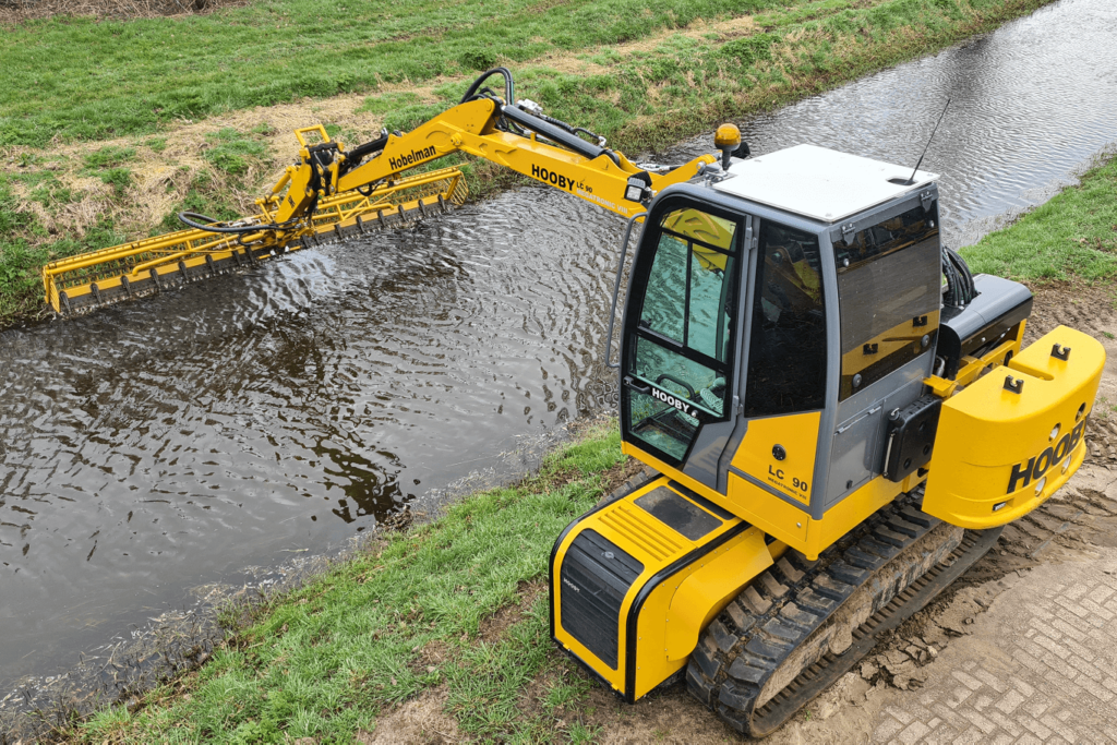
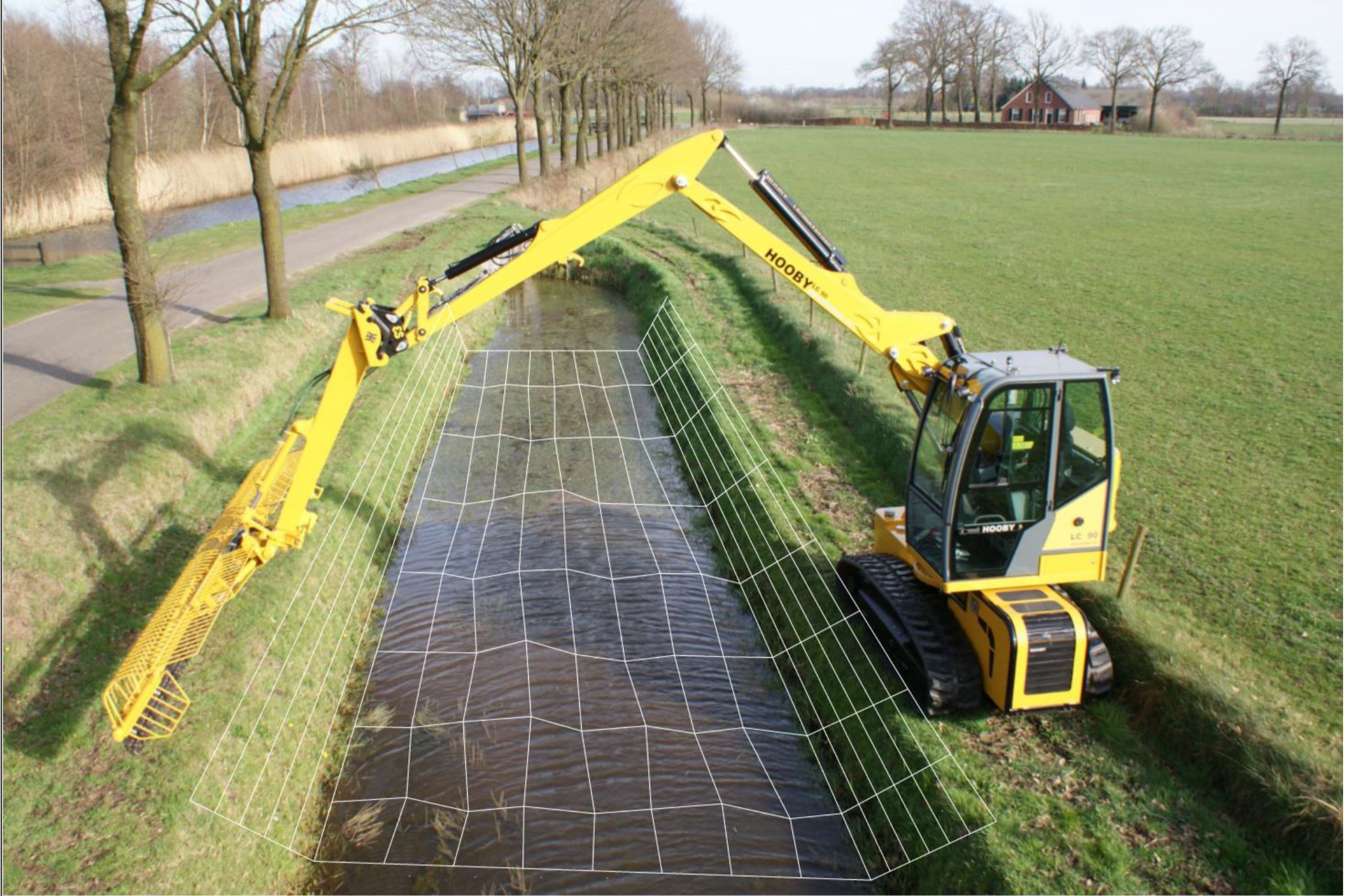
By equipping the HOOBY excavator with sensors and high-quality GPS equipment, this machine technically turns into a human-operated robot. All kinds of tasks surrounding the operation of the machine are highly automated, increasing the ease of operation of the machine. The integration of RTK GPS (accuracy of about 2 cm) on this machine creates the possibility of measuring an accurate cross section with every mowing movement, every 5 meters along the length of the waterway. The operator does not have to perform any additional actions in this process.
The data are sent in real time to a location where we as Water Board can access the data for testing against the NBW standards. The intention is to equip all our machines with this technology so that an up-to-date profile of the entire area is available twice a year on average, thus creating a continuous assessment against the NBW standards. Activities such as mowing, dredging and redevelopment projects can be programmed on this basis.
In addition to direct savings in measurement costs (by in-house personnel or external companies), "measuring while mowing" also provides a qualitatively better insight into the current state of the water system (management register).
The resulting data stream makes it possible to develop an up-to-date "digital twin" of the water system in which effects of climate change, but also certainly risks based on weather forecasting, can be projected.
The data flow can eventually work the other way around, from the office to the machine. The maintenance machine can be fed with a digital maintenance profile, allowing better/easier compliance with objectives related to Water Framework Directive and the like.